
Archives
Our online archives will continue to grow, so please check back…
Historical Overview of Canterbury (June 1995)
This brief historical overview of the town of Canterbury was extracted from the Historic and Architectural Resource Survey, Phase2, of Canterbury, Connecticut, of June 1995 (see below).
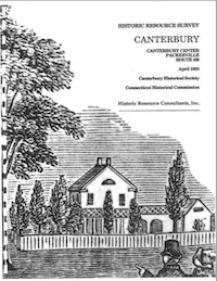
Historic Resource Survey (April 1992)
This historic and architectural survey of Canterbury Center, Packerville and Route 169 was created in partnership with the Connecticut Historical Commission.
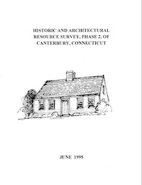
Historic and Architectural Resource Survey, Phase 2 (June 1995)
This survey of Canterbury’s historic and architectural resources that was published in 1995 was conducted by Joan Baldwin and Geoffrey Kossano who conducted fieldwork and photography between October 1994 and April 1995. Funding for this project was provided through a matching grant-in-aid from the National Park Service of the U. S. Department of the Interior, and the State Historic Preservation Office of the Connecticut Historical Commission, Hartford, Connecticut.
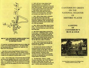
Canterbury Green on the National Register
This Canterbury Historical Society pamphlet provides an overview and location map of historic properties along and near the Canterbury town green.
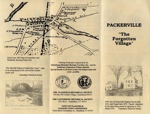
Packerville “The Forgotten Village”
This Canterbury Historical Society pamphlet details location and historical timeline of “the forgotten village” of Packerville.
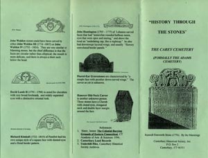
Carey Cemetery “History Through the Stones”
This Canterbury Historical Society pamphlet discusses the history and stone carving legacy of the historic Carey Cemetery, formally the Adams Cemetery, in Canterbury.
Canterbury Cemetery Map
This street map by the Canterbury Historical Society shows scientifically verified GPS locations of known burying grounds in Canterbury.

Latest News

Stop & Shop Community Bag Program
Come one, come all! It’s time for our CHS Tag & Craft Sale at the Town Hall Community Room — rain or shine!
